|
As well as personal charter work, Hugh undertakes regular flying commissions with local government departments, including wildlife and plant conservation agencies, which involves aerial survey work, aerial photography and filming, cargo and freight transport as well as remote access.
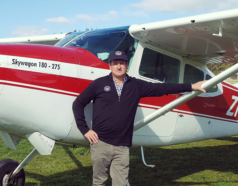
Canterbury Aviation operates an immaculately maintained Cessna 185 with full intercoms and GPS navigation equipment. Satellite tracking equipment on board means aircraft movement is monitored in real time ensuring the very highest level of safety. The aircraft is very well suited to aerial survey work in particular, as it can be configured to suit multiple operations are can provide excellent viewings, which is why it’s been used by local governments on numerous occasions. Click here for more information on our aerial survey service Over the last couple of years, Canterbury Aviation has also used its aircraft for cargo and transport post the Kaikoura earthquake. Hugh was doing daily flights in aid of urgent travel and supplies and still continues to help out when needed. |
|
If you’re interested in any commercial work, then please send us an enquiry with details of the work required.
